")
Author: Louise Chasset (PPM)
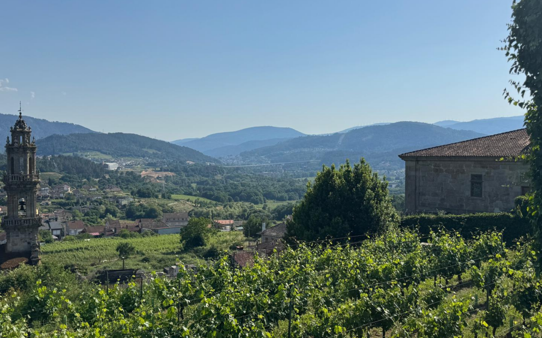
Since 2022, the Vallespir region in France has been experiencing severe drought, which are damaging local biodiversity. More than 60% of the region is covered by extensive forest, consisting mainly of deciduous species such as chestnut, beech and holm oak. This forest plays a vital role in local biodiversity (providing specific habitats), the economy (outdoor activities and timber harvesting), the mitigation of natural risks (such as wildfires), and cultural and heritage services (landscapes characteristic of the region). However, drought is directly affecting forest health, and ecosystems are struggling to adapt.
Need for better monitoring
Local forestry stakeholders, brought together under the Regional Forest Charter, have observed the decline of certain tree species, particularly chestnut trees, a heritage species whose vulnerability is increasingly evident. Identifying and assessing the decline of the Vallespir chestnut grove is therefore a shared priority. This work helps improve understanding of climate change impacts on biodiversity, supports more adaptive forest management, and strengthens fire prevention strategies.
However, there is currently no system in place to monitor the health of the chestnut forest at a local scale. This gap is being addressed through work carried out within the Pays Pyrénées Méditerranée Living Lab, co-supervised by the International Centre for Advanced Mediterranean Agronomic Studies (CIHEAM).
Developing a high-tech solution
The modelling tool was developed using Copernicus satellite imagery (Sentinel-2) and data from the French National Forest Inventory (IGN), processed through the QGIS geographic information system. The methodology builds on previous work from the CastelDiag project on chestnut trees in Dordogne, coordinated by the National Centre for Forest Ownership.
The model combines several remote sensing indices related to vegetation, chlorophyll, moisture and pigments. It was trained using field data from fifteen plots across the Vallespir region. The DEPERIS method, developed by the Department of Forest Health, was used to assess tree health on site.
Mapping the decline
The tool was tested on fifteen local plots and showed varying levels of decline. Results classify the chestnut grove into areas of low decline (36% of the total area), moderate decline (37%) and severe decline (27%) using a supervised statistical approach. Areas with mild to moderate decline are mainly located in Haut-Vallespir and around Saint-Laurent-de-Cerdans, one of the earliest chestnut planting areas. The most severe decline is observed around Reynès and above Amélie-les-Bains, further down the valley. Field validation indicates an accuracy of approximately 75%. Initial statistical analyses attempting to link decline levels to environmental and stand conditions were inconclusive.
Future steps for forest management
Having contributed to identifying the need for this tool and guiding its development, local forestry stakeholders are also its primary end users. Interviews reveal a shared concern about the rapid decline of chestnut groves and uncertainty regarding its long-term consequences, particularly for biodiversity.
At a meeting held in 2025, stakeholders collectively reviewed the methodology, discussed the results and explored possible responses, especially in terms of forest management. The tool provides valuable large-scale insight into forest health in an area where data has so far been limited. It also makes complex remote sensing methods accessible to local actors familiar with Geographic Information Systems, supporting more informed decision-making.
Future work could focus on analysing the historical evolution of the chestnut grove and identifying the underlying causes of its decline. Partners of the Territorial Forest Charter also aim to test adaptive forest management practices in response to climate change.
To find out more about the project, please see the summary for local decision-makers: